


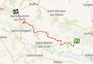

13.9 km | 16.6 km-effort


User


FREE GPS app for hiking
 SityTrail
IGN / Geographical institutes
SityTrail World
The world is yours!
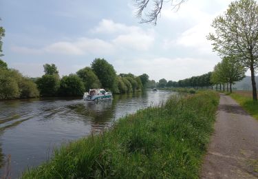
Trail Walking of 20 km to be discovered at Brittany, Morbihan, Les Fougerêts. This trail is proposed by patrickdanilo.
Randonnée Marche de 20 km à découvrir à Bretagne, Morbihan, Les Fougerêts. Cette randonnée est proposée par patrickdanilo.


On foot

Walking
Walking


Walking
Walking
Road bike

Walking

Walking